See the whole route
Import KMZ, KML, Shapefile ZIP, GeoJSON and survey tables. Review pipe elevations, flow direction and recorded assets.
PIPELINE RISK
Turn pipeline data into a clear plan for inspection, monitoring and mitigation.
Built for integrity, operations and chemical teams.
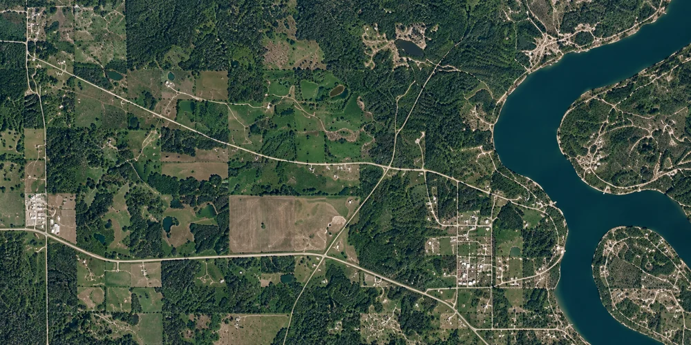
Bring together pipeline geometry, operating conditions and inspection evidence.
Locate and review conditions along the route. Gather the evidence that matters.
Track follow-up, check results and document what was done at each location.
ONE CONNECTED WORKFLOW
Keep the location, the reason for concern and the evidence of improvement together as work moves from the office to the field.
Bring in the route. Confirm pipe elevations and stationing. Review collection references alongside operating and inspection evidence.
Identify the next inspection, monitoring or mitigation step, assign responsibility and record the operator’s authorization.
Return field findings, compare representative measurements and keep unsuccessful or inconclusive outcomes open for follow-up.
BUILT AROUND THE DECISION
Import KMZ, KML, Shapefile ZIP, GeoJSON and survey tables. Review pipe elevations, flow direction and recorded assets.
Connect ILI and UT findings, water analysis, gas conditions, materials and original reports to the right reach.
Compare operating periods and externally supplied model results. Keep assumptions and missing information visible.
Review planned and actual delivery, interruptions and monitoring results alongside the location being protected.
Plan work, record authorization, return findings and review whether the action achieved its intended outcome.
Review portfolio priorities and export an executive PDF with a concern map, field follow-up and supporting context.
CLARITY ABOUT WHAT THE DATA SUPPORTS
Geometry identifies places to investigate. It does not establish corrosion severity or authorize a dig. Wet-gas and multiphase reviews bring together supplied engineering models and field evidence; missing information stays visible.
CHEMCOP PIPELINE RISK
Talk with ChemCop about your pipeline review.
Request a demo by email. Access is arranged by our team.